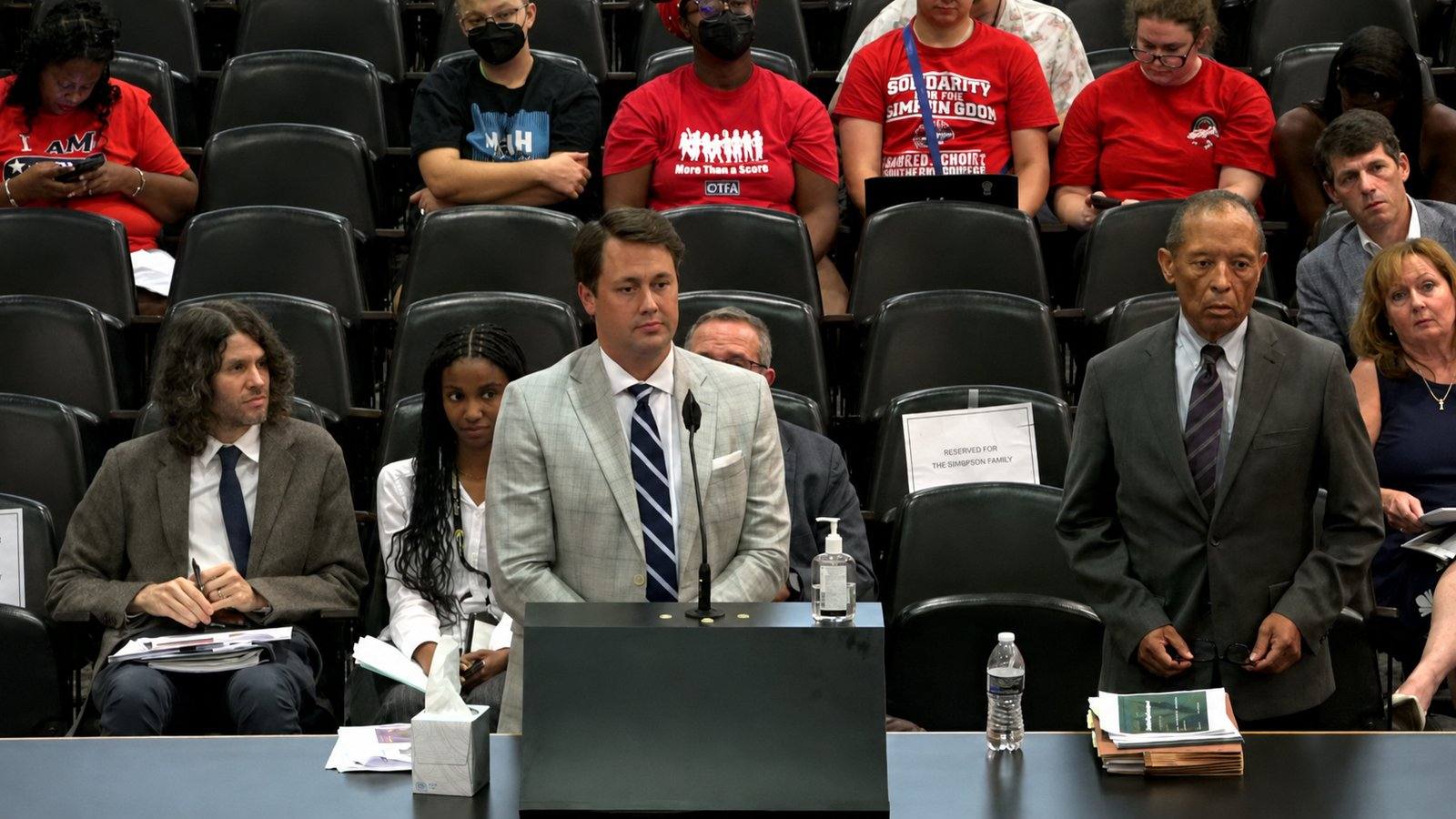
County planning staff recommended rejection twice. On the floor, staff produced the detail that mattered: the road-widening plans the applicant cited had expired.
MEMPHIS, August 24, 2026 - The Shelby County Commission rejected a planned development for 53 acres of vacant land at Houston Levee Road and Pisgah Road, voting nine to three against a proposal the applicant said would bring 125 to 300 permanent jobs and widen a stretch of two-lane road at the developer's expense.
Commissioner Amber Mills, who represents the district and who had asked the developer to refile the case as a planned development in the first place, voted no. She told the body she had remanded it to help the applicant, not because she wanted it, and that she knew a straight rezoning would fail.
How the case changed shape
The item was printed in the August 19 committee packet as an ordinance on first reading for a zoning district change, case number Z 2026-003 CO, deferred from the July 22, 2026 committee meeting. Before discussion began, a substitute was moved to the floor: a resolution granting a planned development for land at 0 Pisgah Road, case number PD 2026-012 CO.
Why the form changed
The director of the Division of Planning and Development explained the mechanics plainly. The case was originally filed as a rezoning. At the previous committee meeting it was remanded to the land use control board to be converted to a planned development. A rezoning requires three readings and is an ordinance. A planned development is a resolution and requires one reading.
The department submitted the substitute resolution to replace the rezoning ordinance.
What staff recommended, twice
A planner with the division gave the committee a brief overview. Public notices were mailed on July 24, and the department received one letter of opposition before the deadline to be included in the report.
The property is vacant and zoned conservation agriculture, which allows predominantly agricultural uses and some residential uses, with multifamily, single family and farmland uses surrounding it. The concept plan shows three access points on each of the two roads, building footprints described as potentially self storage and warehouse uses, and landscape buffers on both sides.
The staff position is rejection. The planner gave two reasons: the character of the surrounding area, and, more significantly, compatibility with the roads serving the location. She told the committee that Houston Levee and Mount Pisgah are narrow roads that in the department's opinion were not built to service a proposal of this industrial intensity, and that the project would in the department's opinion have a negative effect on adjacent property and on the character of the area.
Staff recommended rejection again as a planned development, while providing outline plan conditions in the resolution should the body approve it.
The board votes
At the May land use control board meeting, the case was recommended for rejection as a rezoning. After the remand, it passed the land use control board as a planned development on a five to three vote, subject to the same outline plan conditions.
Commissioner Henri E. Brooks asked what was behind the rejections, noting the case drew a total rejection the first time and three rejection votes the second. The director said the original case was a rezoning, which could not be conditioned, and that as a planned development there were conditions that may have moved some members. He said the board's discussion covered traffic and the roads, that parts of both roads are widened and much of both remain two lanes, and that he would suggest that is probably why the three members voted to reject.
He then added the fact that closed the exchange: the members who voted to reject did not state their reasons on the record.
Commissioner Brooks said she is familiar with the area, having attended high school out there, that the roads are very small, and that she is concerned and would like to know more about why the board rejected it. Told the reasons are not in the record, she said she supposed the minutes might help, and was told again that the board members did not put their reasons on the record.
The developer's answer on the roads
An attorney for the developers was given 60 seconds. He said the case came to the Commission originally as a rezoning and was sent back to the land use control board at the suggestion of Commissioner Amber Mills, and that the board considered the planned development including conditions stating that certain uses would not be allowed on the property. He described the project as an employment center.
On the roads, he said Shelby County has always been developer-driven on widening and roadway improvements, that the developer goes in and does it, and that his clients have agreed with the Shelby County engineer to dedicate and improve both Houston Levee Road and Pisgah Road.
The distance to the school
Commissioner Brooks asked the proximity to schools. The planner said she did not have the exact distance but that Mount Pisgah Middle School is nearby on Pisgah Road, offering an estimate she immediately qualified and said she would have to check.
What the floor hearing added
The committee sent the item forward without a recommendation. At the August 24 hearing, held under the Commission's land use public hearing rule with 10 minutes for each side, staff returned with material the committee had not seen.
The planner told the body that the applicant had cited road widening plans from the region's Metropolitan Planning Organization, and that the department had checked with that agency and confirmed the plans are old and no longer relevant, having expired in 2020. A second plan the applicant referenced dated to 2000 and was never implemented. She said the department did not think either should be considered in justifying the request.
She also answered the question Commissioner Henri E. Brooks had asked in committee. Mount Pisgah Middle School is two miles from the site and Cordova High School is 3.5 miles away, with other residential and civic uses inside a one-mile radius.
The applicant's case was that distance and design resolve the intensity concern. He put the nearest single family residence at 1,100 to 1,200 feet, said 80 percent of the 202-acre neighborhood notification area is vacant land and 7.6 percent is any kind of residential use, and said there are no single family homes inside that area at all. He said 24 intense uses are prohibited by conditions that run with the land, including the two the staff report singled out, and listed the targeted uses as self storage, small bay flex space, last mile sorting and distribution, commercial food preparation, research and development, and professional offices.
On the roads he made a structural argument. He said 100 percent of the existing four-lane sections of Houston Levee between Macon and US 64 were built by developers as conditions of approval, that the county engineer had not found the roads inadequate but had required a trip study and dedication and improvement of the frontage, and that approval would deliver 54 feet of dedicated and improved right of way from the center line. A denial, he said, does not build the road.
He projected $30 million to $55 million in private investment, 125 to 300 permanent jobs, $5.6 million to $18 million in annual payroll, and said the tax assessment lifts roughly 16 times on approval and again at development.
The questions that did not resolve
Commissioner Brooks asked what kinds of jobs and at what wage. The applicant said warehouse and parcel sorting work and that he would imagine prevailing wage. The applicant's attorney added that the site could host medical device or biotech facilities and that those are the uses they would like to see.
Commissioner Brooks said the county needs high paying jobs and that more of the same will produce more of the same, noting that housing is being built that people in distribution and logistics work cannot afford to rent, let alone buy.
Commissioner Michael Whaley asked whether the applicant intended to build the whole site or only prepare it. The applicant said the self storage piece would take about five of the 53 acres, that he would likely have the most direct hand in that, and that whether he participates in constructing the small bay industrial portion remains to be seen and could be sold beforehand. Pressed by Commissioner Brooks, he said there is no specific use identified for the remaining acreage. Commissioner Mills noted that a self storage facility of that size employs perhaps one to four people.
The planning director told the body that several sections of the road are two lanes, or two lanes with a turning lane, and pass single family homes, town homes and apartment buildings, and that those sections will not be widened or improved until someone develops the properties on either side. He said the county engineer has no plans to widen them, that the process is multi-year, and that in the department's opinion this is a safety issue for residents already traveling those roads.
Asked what the site could hold instead, he said conservation agriculture zoning permits large lot residential at two-acre lots, which he estimated at roughly 26 homes on 53 acres.
On the land use control board split, the planning director said two members who heard the rezoning were not present for the planned development and two alternates sat instead. The applicant's attorney said four of the five yes votes had heard the earlier case and named the member he said changed position. Commissioner Mills noted the rezoning had failed three to five, meaning the planned development passed the board by a single vote.
The vote
Aye votes came from Commissioner Whaley, Commissioner Mick Wright and Commissioner Brandon G. Morrison. Commissioner Miska Clay Bibbs, Commissioner Charlie A. Caswell, Jr., Commissioner Erika Sugarmon, Commissioner Mills, Commissioner Matthew T. Szalaj, Commissioner Britney Thornton, Commissioner Brooks, Vice Chair David C. Bradford, Jr. and Chairwoman Shante K. Avant voted no. Three ayes to nine nos. The motion failed.
What happens next
The record shows the resolution failed and the planned development was not granted. The property remains zoned conservation agriculture. Nothing in the record establishes whether the applicant intends to refile, and no commissioner asked.
Your city. Your money. Your receipts.